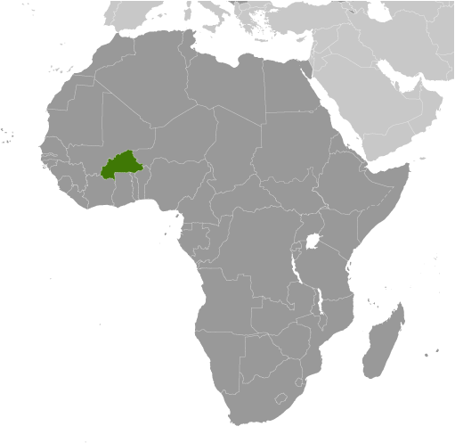
Burkina Faso
Geographical Specifics
|
Total area: 274,200 sq km
Land area: 273,800 sq km Water area Size comparative to U.S. territory: slightly larger than Colorado Bordering Territories: Benin 386 km, Cote d'Ivoire 545 km, Ghana 602 km, Mali 1,325 km, Niger 622 km, Togo 131 km Total distance of all land boundaries: 3,611 km Total distance of coastline: 0 km (landlocked country) Climate: tropical; warm, dry winters; hot, wet summers Terrain: mostly flat to dissected, undulating plains; hills in west and southeast Point of lowest elevation: Mouhoun (Black Volta) River 200 m Point of highest elevation: Tena Kourou 749 m |
